Background Information on this Website
NOAA’s Damage Assessment, Remediation, and Restoration Program (DARRP) works with teams composed of state, tribal, and federal agencies, often in cooperation with industry. We also involve the public as we develop plans for restoration. To date we have recovered over $10.3 billion for restoration from those responsible for environmental harm.
If it appears that significant impacts may have occurred to natural resources, the trustees may initiate a Natural Resource Damage Assessment (NRDA). The NRDA process holds responsible parties accountable for injuries to natural resources, and seeks to recover the funds needed to restore injured resources and compensate the public. DARRP (in collaboration with state, federal, and tribal partners) develops restoration plans that address natural resource injuries and losses, with input from the public. DARRP also uses funds recovered from the responsible parties to restore the resources and habitats harmed and undertake projects—such as constructing or improving boat ramps, fishing piers, and beach trails—to compensate for lost recreational uses.
DATA AND MAPPING FOR NRDA
NOAA and its partner agencies must often collect and maintain a large amount of data to document the location and extent of injuries to the environment. To determine impacts from an incident, samples may be taken from air, water, sediment, oil, even tissue from wildlife. Field teams may also record environmental conditions (e.g., water temperature, salinity, and oxygen levels) and visual observations (e.g., vegetation density, wildlife counts, indicators of wildlife heath). Additional data is collected to monitor and evaluate progress associated with restoration activities.
 Information on the Deepwater Horizon NRDA
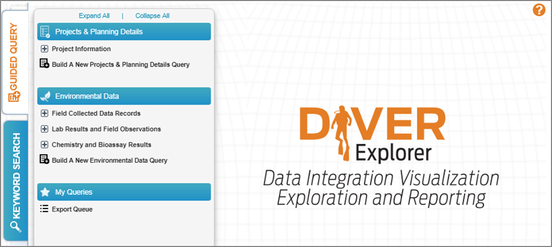
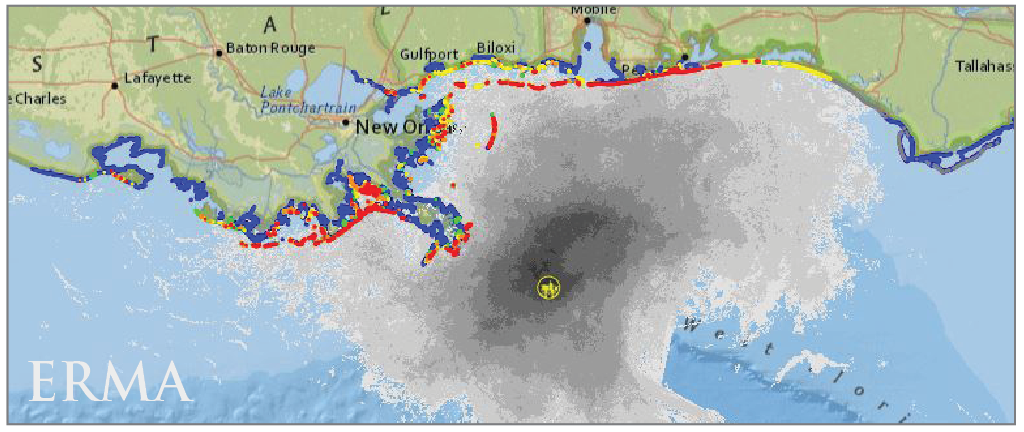
DIVER is a data warehouse and query tool providing natural resource trustees and the public with the ability to access, query, visualize and download extensive information on environmental pollution, sampling, and restoration efforts. ERMA is a unique mapping and visualization tool that allows you to view response, assessment, and restoration mapping layers in context with other environmental information. This website provides direct access to DIVER for data query and download, and links to ERMA for mapping and visualization.
DIVER

ERMA

